
In brief
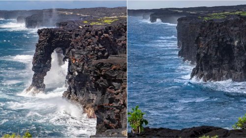
Tropical Storm Kiko is affecting parts of Hawaii with high surf and rip currents, despite weakening as it passes to the north of the islands. The National Hurricane Center indicates that while the storm is not expected to make landfall, residents should remain vigilant for any changes. With winds of 40 mph, Kiko is currently located approximately 220 miles north of Hilo and east-northeast of Honolulu. Authorities warn that surf conditions could become life-threatening, even without formal coastal warnings in place.
HONOLULU (AP) — Tropical Storm Kiko is causing high surf and rip currents for parts of Hawaii as it weakens to the north of the islands. Forecasters from the National Hurricane Center reported that Kiko is expected to pass without making a direct impact on the state, yet residents are urged to stay alert for any potential changes in the storm’s path. Currently, Kiko has maximum sustained winds of around 40 mph (65 kph), located approximately 220 miles north of Hilo and equally distanced east-northeast of Honolulu, moving west-northwest at 14 mph (23 kph). The weather service forecasts that waves will peak on Tuesday and Wednesday, prompting warnings of life-threatening surf and rip currents, although no coastal watches or warnings are currently in effect.