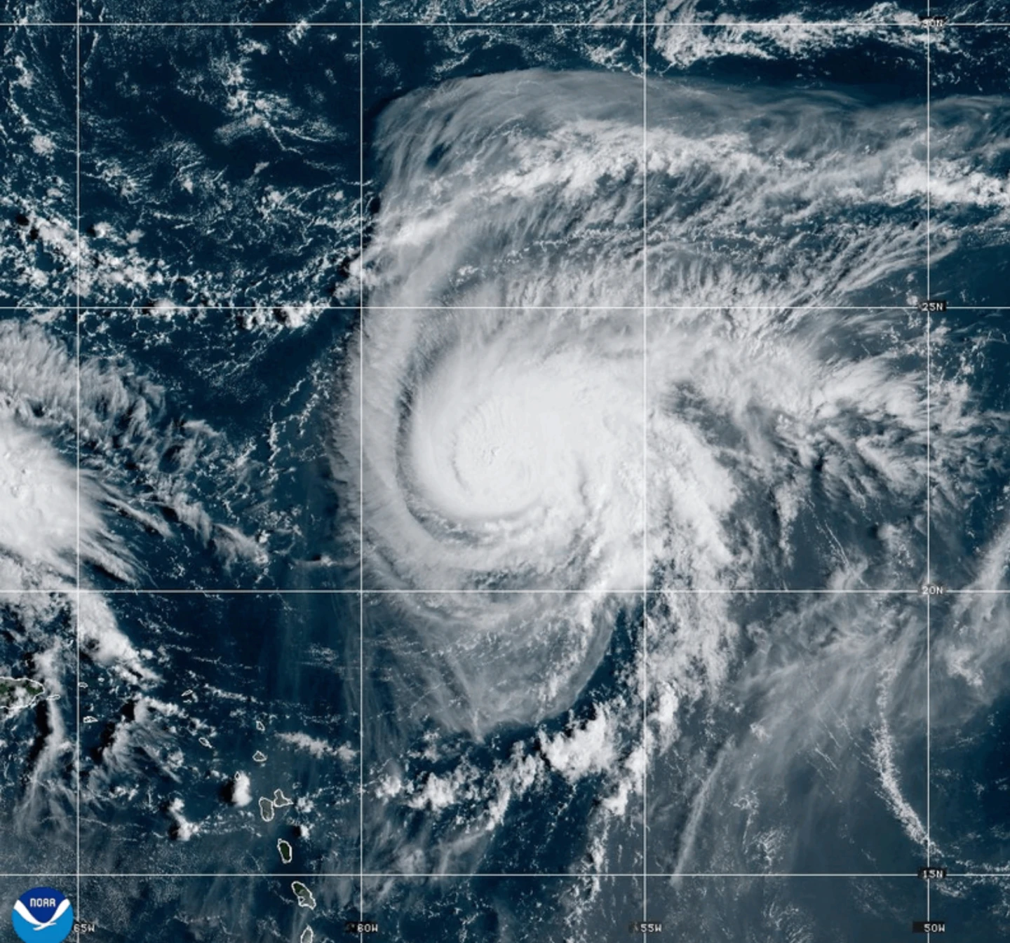
MIAMI (AP) — Dangerous tropical weather brewed Saturday in the Atlantic with Hurricane Humberto intensifying to a powerful Category 4 storm, packing winds of 145 mph (230 kph) and raising concerns along the Eastern Seaboard. The storm is currently located approximately 375 miles (605 kilometers) northeast of the northern Leeward Islands and is moving west at 6 mph (9 kph).
Forecasters warn that Humberto could produce life-threatening surf and rip currents for areas including the northern Leeward Islands, Virgin Islands, Puerto Rico, and Bermuda as it approaches during the weekend.
In addition to Humberto, a weather system threatening the Bahamas and Cuba is likely to develop into a tropical storm this weekend, bringing heavy rainfall and the potential for flash flooding. Tropical storm warnings are already in effect for parts of the Bahamas.
South Carolina Governor Henry McMaster declared a state of emergency as a precautionary measure in anticipation of the approaching storm, which is expected to strengthen further into a hurricane by late Monday. Preparations in Charleston include assembling sandbags and organizing flood prevention teams.
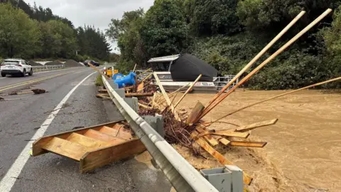
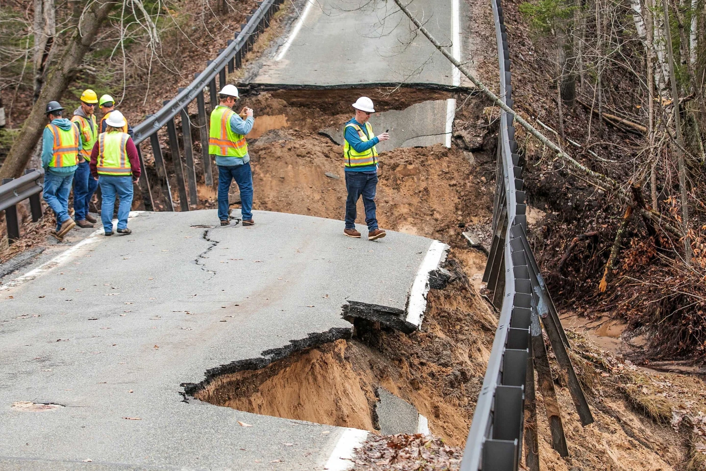
The tropical disturbance has also caused significant flooding in the Dominican Republic, where hundreds were evacuated, emphasizing the urgency of preparation as coastal areas in the Southeast U.S. closely monitor the situation. Flooding has already displaced many residents and left communities cut off due to landslides and fallen infrastructure.
In related news, the post-tropical cyclone Gabrielle has moved away from the Azores, and while it is losing strength, swells from the storm are projected to impact coastal areas of Portugal and northwestern Spain, intensifying the threat of dangerous surf conditions.